
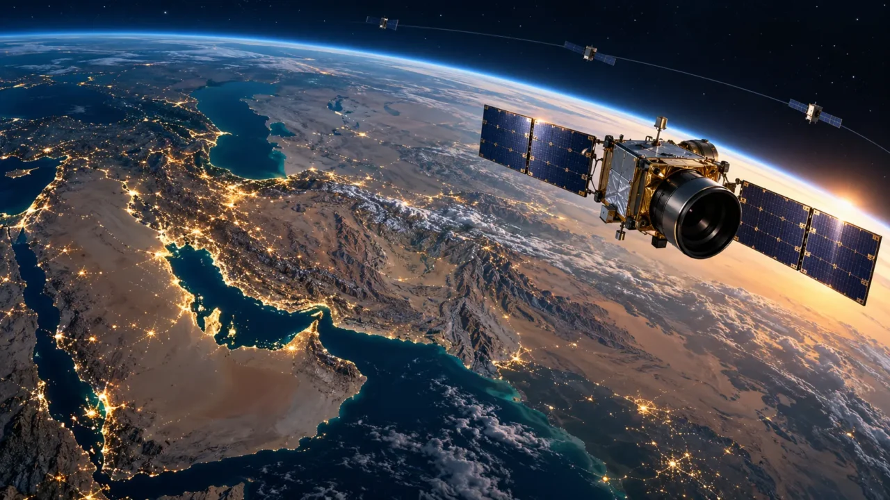

Officials say a sub-three-metre Earth observation satellite is ready for a future launch, while one-metre imaging and a 24-satellite communications network remain under development.
The short answer
Iran says Pars-2 has been completed with imaging accuracy better than three metres and added to a launch programme, although no launch date or rocket has been announced. Separate plans for one-metre imaging satellites and the 24-satellite Shahid Soleimani communications constellation are development projects, not operating capabilities
What Iran announced during World Space Week
Iran has presented several space projects during World Space Week, but the announcements cover different missions and different stages of readiness. According to the Tabnak report on Pars-2, Iranian Space Agency head Hassan Salarieh said the remote-sensing satellite has been completed, can produce imagery at better than three-metre resolution and has been placed on the launch schedule. Details of the launch are still to be announced.
That wording matters. Being placed on a launch programme means the spacecraft is expected to fly, but it does not establish a date, launch vehicle or successful deployment. Until Pars-2 reaches orbit and returns calibrated images, its performance remains a stated specification rather than a demonstrated service.
The wider announcements arrived as Iran marked World Space Week from October 4 to 10. The Tehran Times account of Iran’s World Space Week programme describes public events, student activities and technical meetings under the 2026 theme, Rocket Revolution. The programme also highlights Iran’s domestically developed launch vehicles by assigning each day to a different rocket family.
Three projects, three different purposes
The current reporting is easiest to understand when Pars-2, the one-metre imaging goal and the Shahid Soleimani constellation are kept separate.
| Project | Purpose | Reported status | Important limit |
|---|---|---|---|
| Pars-2 | Optical Earth observation | Completed and placed on a launch programme | No public launch date or in-orbit performance yet |
| Next-generation imaging satellites | Images with detail approaching one metre per pixel | Design and development work reported | No named operational one-metre system confirmed |
| Shahid Soleimani constellation | Narrowband communications and low-volume data transfer | First full-size model unveiled; network under construction | A 24-satellite plan is not yet a fully deployed constellation |
What better than three-metre resolution means
Imaging resolution describes the ground area represented by one pixel. A three-metre image can distinguish large structures, field boundaries, roads and broad changes in land use. It is useful for agricultural monitoring, water management, mapping, environmental assessment and rapid comparisons after floods, fires or earthquakes.
One-metre imagery adds substantially more detail. It can improve building-level mapping and make smaller changes easier to identify, though image quality also depends on cloud cover, viewing angle, sensor calibration, light conditions and data processing. A resolution figure by itself does not reveal how often a satellite can revisit the same location, how wide an area it captures or how quickly users receive the data.
The WANA report on Iran’s satellite roadmap says Iranian planners are moving toward constellations and next-generation spacecraft with one-metre imaging resolution. The report frames that figure as a development objective. It should not be read as proof that Iran already operates a domestic one-metre imaging constellation.
Pars-2 builds on Paya’s remote-sensing mission
Iranian reporting describes Pars-2 as an advanced follow-on to Paya, also known as Tolou-3. Paya entered a roughly 500-kilometre orbit in December 2025 alongside Zafar-2 and Kowsar on a Russian Soyuz launch. Iranian officials reported a native resolution of about five metres for Paya, with processing intended to improve usable imagery to around three metres.
Pars-2 is therefore being presented as the next step: better than three-metre resolution from the satellite itself, rather than relying only on enhancement after capture. The real comparison will become possible only after the spacecraft is launched, commissioned and its imagery is independently assessable.
Why a constellation changes the service
A single satellite can collect useful data, but it passes over a location only at certain times. A constellation spreads spacecraft across coordinated orbits, reducing the wait between opportunities to communicate with or observe the same area. For emergency services, agriculture and infrastructure monitoring, faster revisit times can be as important as sharper pictures.
Iran’s Shahid Soleimani network is designed for narrowband communications, including short messages and data from remote sensors. Possible uses include pipelines, forests, environmental stations and areas where terrestrial networks are unavailable. Officials have described a planned group of 24 satellites, with production dependent on testing and approving the first operational-scale design.
Civilian applications and the dual-use question
Iranian officials emphasize civilian benefits such as crop monitoring, water-resource management, land administration and disaster response. Those are established uses of Earth-observation satellites. Communications constellations can also support remote sensors and maintain limited links when ground infrastructure is damaged.
Space technology nevertheless has a dual-use dimension. Higher-resolution imagery can support civilian planning and security analysis, while launch-vehicle development draws international scrutiny because some rocket technologies overlap with long-range missile expertise. The current reports do not show that Pars-2 is a military satellite, but they also do not provide enough independent technical data to settle every question about mission use.
What remains unconfirmed
- Pars-2’s launch date, launch site and carrier rocket have not been publicly specified.
- Better than three-metre performance has not yet been demonstrated in orbit.
- The one-metre imaging programme remains a development target, with no confirmed operational date.
- The full 24-satellite Shahid Soleimani constellation has not been deployed.
- Detailed information about sensors, swath width, revisit intervals and commercial access has not been released in the cited reports.
The larger direction of Iran’s space programme
Taken together, the announcements show Iran trying to move from individual experimental spacecraft toward repeatable services. Pars-2 represents the push for sharper Earth imagery. The proposed one-metre systems point to the next technical target. Shahid Soleimani reflects the separate goal of using many smaller satellites to improve communications coverage and data availability.
The next decisive evidence will not be another unveiling. It will be a confirmed launch, stable operation in orbit and imagery or communications data that demonstrate the advertised performance. For now, Iran has outlined an ambitious roadmap and identified concrete spacecraft, but several of its most consequential capabilities remain scheduled or under development.
Recommended
Summarize this article
Open this story in your preferred AI assistant. The prompt is copied as a fallback.

About the author
FTL Editor
"FTL Editor" is Factelle's house byline for stories reported and verified by our editorial desk rather than a single named contributor. Every fact is checked against a primary or wire source, campaign/company claims are labeled as such rather than presented as verified, and articles are updated with a visible timestamp as new information comes in. Corrections are flagged directly in the article per our Corrections Policy.